In this Substack we celebrate the art and craft of Place Writing. Do you want to be inspired? Join our band of readers and writers who love everything about place and home. Subscribe now and get fortnightly posts delivered to your in-box for free.
It’s rare to attend a conference of eleven lectures and enjoy every single one of them. But this is true of my experience at ‘Visual and Material Approaches to Cartographic Objects’, a two-day event held recently at The Courtauld Institute of Art in London. It was fascinating learning about current research projects, especially those that look at different types of mapping and the variety of substrates that have been, and are being, used for mapmaking. Leaning heavily on the visual presentation of information contained in maps and, in some cases, contemporary artistic responses to them, many of the talks awakened the art historian in me.
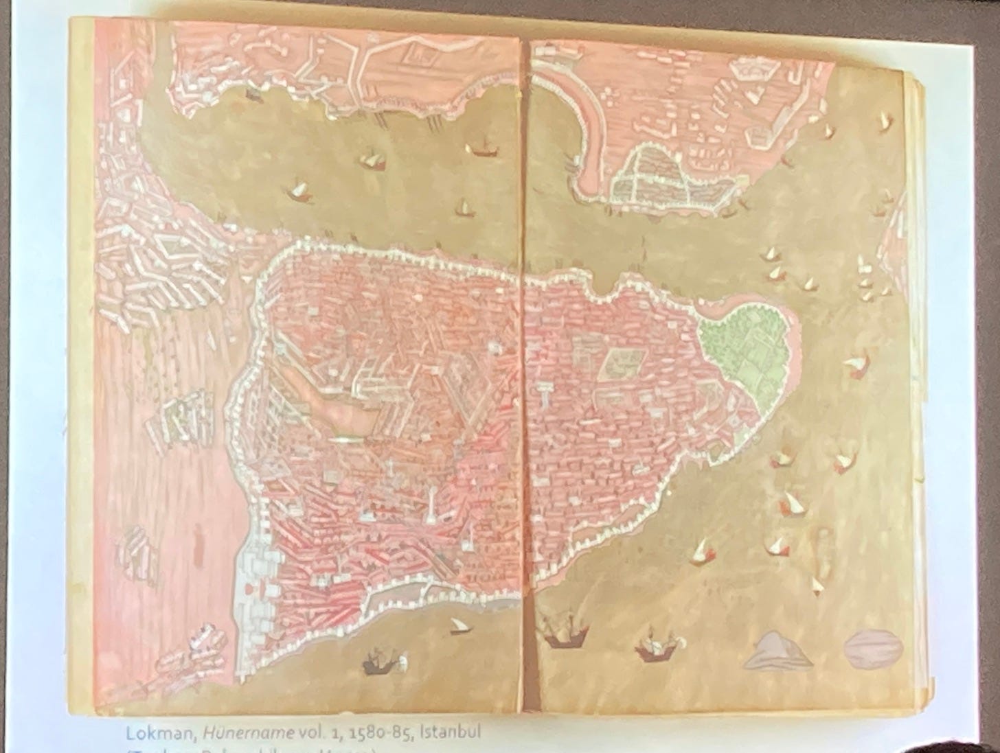
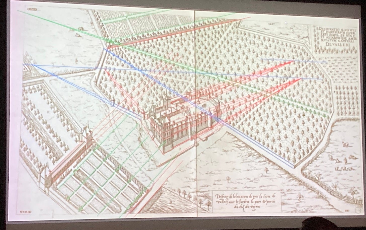
The topics were varied and some were hundreds of miles away from my own field of knowledge, however, it mattered not. I learned something of the hydraulic infrastructure and water systems of Istanbul, and the modern historiography of twelfth-century Chinese maps carved in stone, and the deliberate flouting of the rules of perspective by sixteenth century French architects. It all reinforced one thing in my mind and that is the immense contribution that maps make to every sphere of society.
In a recent post, ‘Maps in Books’, I wrote that many authors develop maps to keep track of their characters, and include them in their books to help the reader orient themselves.
Maps are a medium for recording information which then can be disseminated; they are actively used by travellers, traders, and politicians, as well as being valuable pedagogical material.
After the conference, I sat down and looked over my notes and decided to write about how maps can help the creative writer, in particular, how they can be used as prompts in place writing. There are several ways to take this discussion—as usual, the more I think about these Substack topics, the more they grow—so I’ll focus on one that has relevance to my own research.
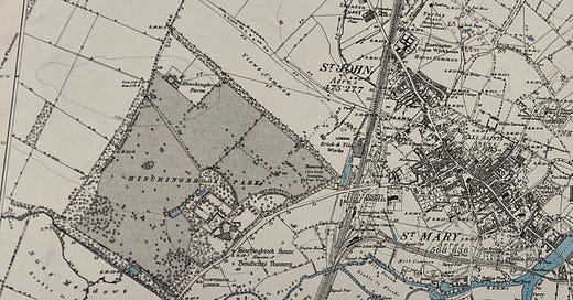
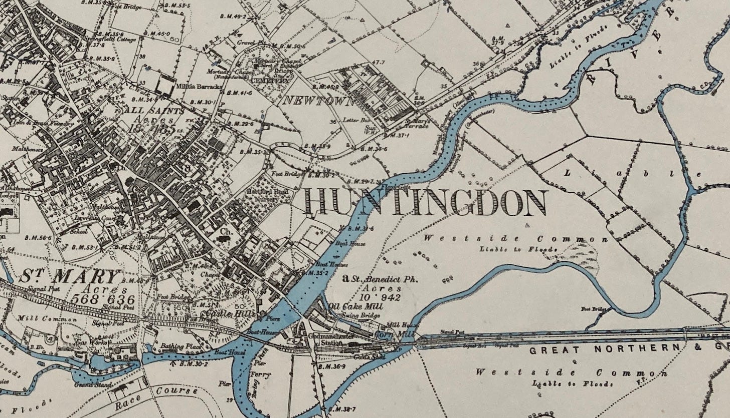
In my current writing project, I’m spending quite a bit of time in one specific place—getting to know it as much as possible. It’s a piece of land that was once the grounds of a nunnery back in eleventh century England but now it’s used for public leisure. I’ve researched its history through textual sources but only recently thought to look at an old map. I found one in the British Library; the land was surveyed in 1885 and the map printed in 1890. It shows the area and its surroundings, and my subject piece of land is clearly identifiable. Text on the map states it is ‘Photozincographed from 1/2500 Plans and Published at the Ordnance Survey Office, Southampton’ and it was commercially sold, priced at ‘1s’ (one shilling).
Another piece of information included on the map is that ‘the Altitudes are given in feet above the Approximate Mean Water at Liverpool’. I’m familiar with contour lines, but I wonder where the mean water level is in Liverpool. How would you find it? Is there a marker somewhere? I need to do some more research.
But in this map another history is told—that of the railway. The aural experience of place finds its way frequently into my writing as you’ll know from my post, ‘Nature Writing’. If you stand still, or sit quietly on a bench, you can hear the trains a few hundred yards away on the electrified line. Going back in time to when the map was drafted, however, the trains would have been powered by steam. Piercing whistles would travel across the land, and the coal-fired engine would billow smoke into the air. And, interestingly, the trains travelled east in the nineteenth century as well as north-south as they do today.
How relevant is the map’s information to my writing about this place? I have a feeling my project is going to be all the richer for having seen this map. One of the tropes of place writing that I’ve identified is layering. By drawing information from a variety of sources, layers can be pieced together to create a multifaceted textual picture of place.
I’m interested to know your thoughts on the topic of maps and how they can inform your writing.
When I’m in this landscape I imagine the sounds of singing and the periods of silence produced by a community of nuns, and then, later, the fearful conversations as Henry VIII ordered the violent closure of such institutions. Then, the clashes and clangs of rebuilding as the great house was extended and modernised to host visiting royalty. Up to today, when I hear the shrieks of children in the playground and the excited barks of dogs as they chase balls and jump into the lake. All of this can find its way into my place writing, giving it a depth that I hope the reader will appreciate.
To write about place you really have to know it. Maps can help us gain extra knowledge and perhaps even lead us down unexpected paths. I think my time at the conference has made me realise that maps are more than paper documents—they can be cast onto many materials, even laid into a decorative pavement or floor, and my mind must remain open to the potential of maps as an aid to broaden my understanding of place.


I always start with maps when I am writing about places and planning trips in the UK. Old maps in particular add layers of knowledge to a place. Cities change all the time but it is also fascinating to see the changes to even a rural landscape, places that we think have stayed the same for centuries. I like to read the place names for woods and hills and think about how they came about too.
Lots to think about and contribute but bear with. Fantastic piece, Yasmin.